How to Perform 360 Reality Capture
360 cameras have become an increasingly popular way for construction, inspection, and engineering stakeholders to capture the current conditions of active job sites and completed assets in less time and with fewer resources. This is chiefly because 360 cameras are relatively inexpensive, very easy to use, and can rapidly capture immersive, panoramic footage of job sites without requiring camera operators to walk the exact same capture path at every recording.
In this article, we’ll focus on how to perform 360 reality capture quickly, effectively, and with as little disruption as possible—all while securing the best and most accurate reality data and capture footage possible.
Step 1: Select the right 360 progress capture software and hardware
There are a variety of 360 progress capture tools and technology on the market today. For best results, consider selecting software that integrates with affordable and easy-to-use 360 camera devices and allows you to blend reality data from a 360 camera with other devices, too. This allows you to create a single source of project truth that combines 360 progress capture with any and all other footage, including that captured with smartphones, drones, laser scanners, and more.
Step 2: Ensure you have the right materials for the 360 capture walk
For best results, it's recommended that camera operators utilize either a hard hat mount or a selfie stick to ensure a more stable 360 reality capture.
Step 3: Plan the best route for 360 reality capture
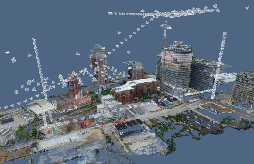
One of the chief benefits of 360 reality capture is that it doesn't need to be performed perfectly. There is room for error, and the best photogrammetry engines will automatically fill in the blanks between one capture and the next to ensure the smoothest and most holistic view of a project.
That said, planning a capture walk is relatively simple and can help ensure that whoever is performing 360 reality capture has the most accurate footage possible. Additionally, depending on your 360 reality capture use case, a more thorough and structured approach to 360 reality capture can be crucial in ensuring that footage meets project requirements for documentation and analysis.
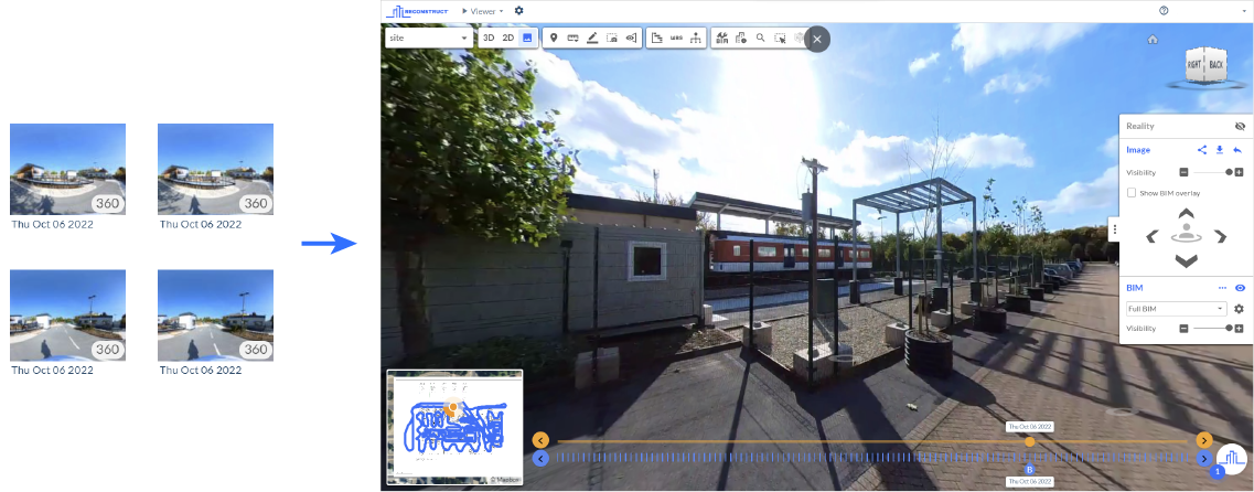
The good news is, if you are using Reconstruct’s reality mapping engine, you'll be able to visualize your reality capture path after completing your first capture right on the 2D floor plan. You can continue to use that capture path week after week, month after month, or even year after year to keep up with construction progress monitoring, construction quality control, current conditions assessments, and more.
Keep in mind that virtually any member of the field team can perform reality capture using a 360 camera. Unlike with a drone or a laser scanner, organizations do not need to rely on a professional, expert operator to capture accurate footage of the job site.
Related: Examples of Capture Paths for Different Projects and Use Cases
Step 4: Perform the 360 reality capture walk
Once you have determined the best route for reality capture, begin walking the job site with your mounted or secured 360 camera. If you're using software such as Reconstruct, you can also use the reality capture app simultaneously to aid your walk. There is no reason to twist and turn when performing reality capture with a 360 camera. The devices are intended to be panoramic and immersive, meaning they capture everything that surrounds you as you walk in one direction.
Keep in mind that the average 360 camera can capture 1,000 square feet in a minute. That said, your speed may vary depending on the floor plan and room size.
Once your walk is complete, you may want to return to certain areas and take 360 photos (vs. hyperlapse) or use a smartphone, drone, or other device to gather additional footage. This is especially true if you need to capture complex in-wall installations—the chief strength of smartphone capture—or need footage of exterior or hard-to-reach areas—the chief strength of drones.
Step 5: Review footage within the digital twin
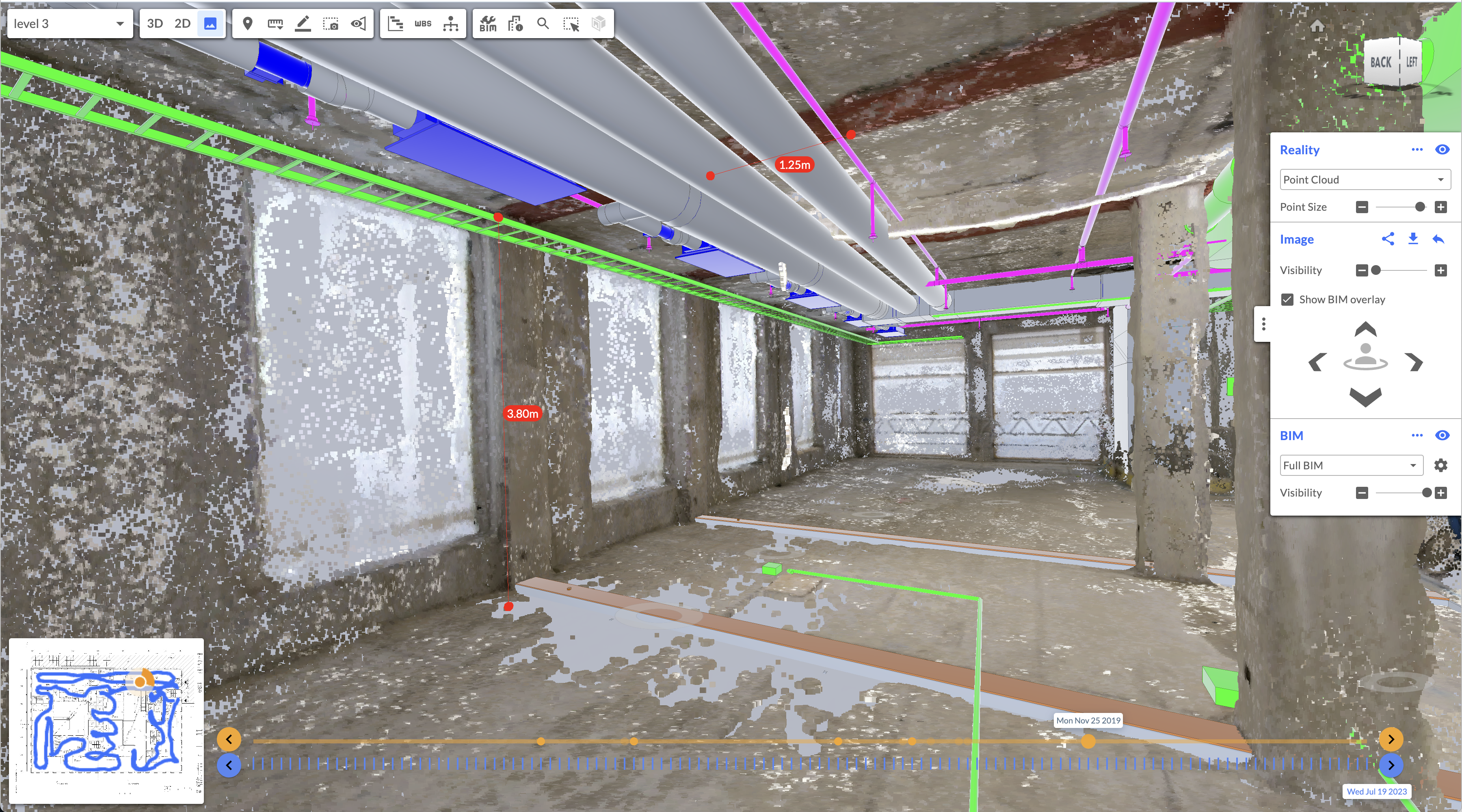
Once the 360 reality capture footage has been processed by the photogrammetry engine, you can review the “reconstructed” data. With software like Reconstruct, this will be in the form of a measurable and immersive digital twin that offers remote stakeholders “virtual walkthroughs” of the job site. Additionally, because all footage is automatically pinned in space and over time, stakeholders can enjoy a true Time Machine for Construction™. This means they can turn back the construction clock to visualize the job site at any captured date or time.
Additionally, any and all other footage can be blended with the digital twin for an even more accurate and holistic view of construction progress. This means that the footage you've captured with other devices (at any time) can be added to the digital twin. This includes footage captured by trades and subcontractors.
In the past, many of these sources of reality data may have been siloed or stored separately. With the right construction monitoring software, all reality data—including that gathered during 360 reality capture—can be combined into a single source of project truth that improves visibility, collaboration, and project understanding while reducing the need for time-consuming and expensive methods of reality capture and recurring travel to the job site.
About Reconstruct
Reconstruct has set the gold standard for 360 reality capture in the construction, inspection, and engineering space. With a variety of 360 capture devices designed to integrate directly with our software, it has never been easier or less disruptive to rapidly capture job site footage and transform it into a highly immersive and measurable digital twin.
To learn more or to see your project in Reconstruct, schedule a personalized demo today.


